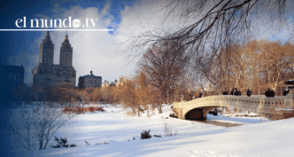
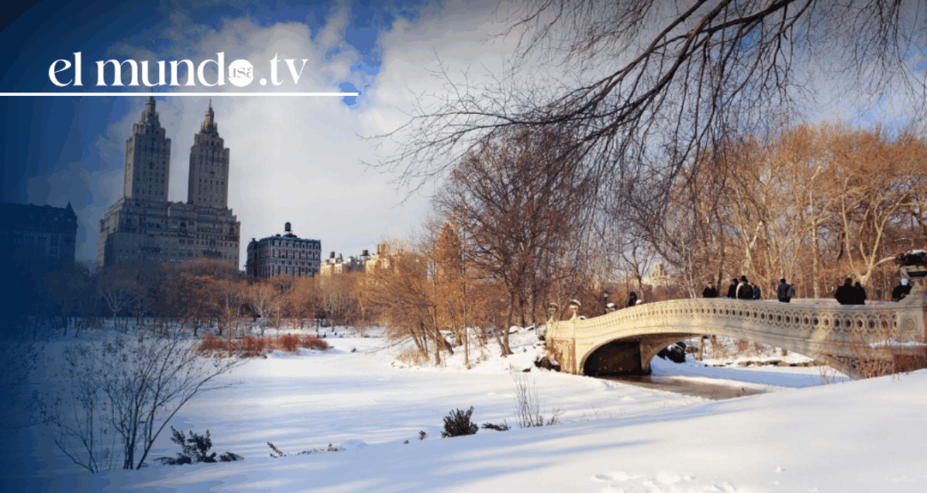
An unusually severe winter storm is expected to affect more than 160 million people across the United States beginning this Friday, as an extended polar vortex pushes a powerful surge of Arctic air deep into the country. The system, named Winter Storm Fern, is forecast to bring heavy snowfall, freezing rain, and dangerously low temperatures across a vast portion of the nation.
According to meteorologists, the storm will stretch across more than half the continental United States, impacting areas from Texas and the Great Plains to the Mid-Atlantic and the Northeast. Travel disruptions, power outages, and hazardous road conditions are anticipated as the storm intensifies over the weekend.
Scientists note that disruptions of the polar vortex appear to be occurring more frequently in recent years. Some researchers suggest these changes may be linked to climate change, though the issue remains under debate, as natural atmospheric variability also plays a significant role in shaping winter weather patterns.
The polar vortex is a large region of cold, low-pressure air that circulates counterclockwise high above the Arctic in the stratosphere, roughly 10 to 50 kilometers above Earth’s surface. During a typical winter, it remains relatively compact and stable, helping to confine the coldest air to northern latitudes.
“Normally, the vortex spins happily and has little effect on our day-to-day weather,” said Jennifer Francis, a senior scientist at the Woodwell Climate Research Center. “But occasionally, it shifts or stretches southward over North America, bringing with it an outbreak of intense cold.”
This stretching can occur when large atmospheric waves formed closer to the Earth’s surface travel upward and destabilize the vortex. Instead of breaking down completely—as seen during dramatic sudden stratospheric warming events—the vortex may elongate into an oval shape.